We awoke to another very nice day and, unfortunately, that same stubborn pain in Rich’s leg. Weather conditions were still very humid, but it wasn’t foggy like yesterday. I brought back a blueberry muffin and some coffee and juice from the hotel lobby as a “first breakfast”; I had planned on going to the Flowered Apron for our “main breakfast,” but since that doesn’t open until 8:00, we had some time to kill.
I headed over to the bakery on Kennebec Street around 7:45 and arrived just a few minutes before the shop opened, taking a shortcut through the cemetery. (In fact I walked down to the end of the street just so I wasn’t bothering the owners before opening time, and saw one of the owners placing the “pop up bakery” sign at the corner of Cottage and Kennebec.)
All of their baked goods looked enticing to me, but I knew we were both leaning toward today’s savory offering: a cheddar scallion biscuit. I bought two, in fact, even though they were pretty big. I also got a molasses-ginger cookie (which I’ve had before and it was awesome), a three-pack of lemon tea cookies, and a chocolate raspberry cupcake. The featured item for today was a chocolate raspberry cake, and while the slices looked delicious (two chocolate layers filled with raspberry cream and topped with chocolate ganache) I knew it was more than I could handle this morning! So I opted for the cupcake.
The business is self-serve now, and I didn’t see the proprietor Karen at all, but her husband Steve was roaming around outside, setting up the various signs. I fit everything into one of the lovely bakery boxes that they provide, paid for the goodies, and walked over to the Island Explorer building to pick up a few bus schedules before heading back to the hotel. (At the hotel, I also procured a few slices of butter to spread on the biscuits, and some more juice and coffee.)
While we ate, we pondered another simple activity that would give Rich plenty of opportunities to rest while I explored. I knew that there were a few trails to explore near the Bear Brook picnic area and we figured that might be a nice place to park and use as a base for the day.
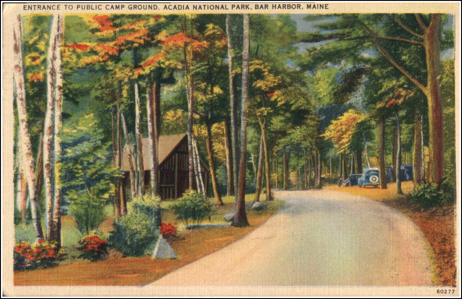
Bear Brook Campground
The area now known as Bear Brook Picnic Area was originally developed as a campground: the first official National Park campground for Acadia. Beginning in the 1920s, auto touring made places like Acadia that were far-flung from eastern cities suddenly accessible to the growing middle class. But Lafayette National Park (later Acadia) did not have a public campground of its own; through a loose agreement with the town that was later rescinded, visitors initially camped at the area between Park Street and Ledgelawn Avenues that is now a public park.
An early planning document for the National Park dating to 1927 outlined plans to replace the Ledgelawn Avenue site with a new campground facility to be built at Bear Brook. Between 1927 and 1932, park superintendent George Dorr forged ahead with the development of this campground adjacent to Robin Hood Park. To accommodate the desires and demands of the new wave of auto-campers, Bear Brook Campground provided amenities typical of campgrounds of the time, such as water, fire rings, and comfort stations.
The campground was modified over the years with improved layouts to control traffic and preserve vegetation, and the addition of amenities such as an amphitheater, laundry, and office. As in other areas of the park, much of this work was accomplished by enrollees of the Civilian Conservation Corps (CCC). Two additional campgrounds which are still part of the park today (Seawall and Blackwoods) were developed over the following decades, eventually replacing the aging facilities at Bear Brook. Bear Brook was converted to a picnic area by 1962.
Rich came along on my first exploration of the connector path between the picnic area and Jackson Labs. This was a short trail and not an overly exciting one, but still something new to add to our map. In addition, we found two NPS boundary markers along this short path.
Rich didn’t quite make it to the end of the path before his leg started bothering him, so he headed back toward the picnic area. This gave us a chance to test out our new radios, which worked quite well. I’ve often wanted to have something for communication when I go off scouting an abandoned trail, and cell phones still get horrible reception on the island, so radios it is.
Rich settled in with his book at one of the picnic tables, and I headed off to see if I could find any traces of the old Black and White path that went from the Beaver Dam Pond up, eventually, to Champlain summit via the saddle between Champlain and Huguenot Head.
Entering the woods at a point I had marked 8 years ago, I followed a path we had taken all those years ago when we originally found what remains of George Dorr’s bicycle path. After just a short distance, I spotted what appeared to be an intersection with a trail heading south—the basic direction I was looking for.
I began to follow the faint trail and almost immediately spotted a cairn! And then another, and another. Some sections of quite obvious trail opened up here and there, and I was getting more and more excited.
But after passing one particular cairn, all traces of the path ended. I searched all over, following a rocky drainage quite far up the hill, and then returning to the last cairn and looking off to either side, back and forth, without ever spotting another cairn or any sign of the trail continuing. The tiny screen of my GPS wasn’t much help in figuring out where I was or how my position related to where I wanted to be.
I decided to descend again, back to the original trail, and follow it toward the Beaver Dam pond. I figured I might find the spot alongside the pond where the Black and White trail is supposed to have begun, and search around to see if the situation made more sense.
When I got closer to the pond, I did spot another cairn on the other side of the outlet stream! I crossed over and followed a faint trail to another cairn or two and then … ugh, nothing. I poked around in this area too but couldn’t find anything else of interest. I suspect that this path of cairns meets up with the others I found earlier, in some way.
I didn’t want to be gone for too long, and it was very humid and wet inside the woods, so I called Rich on the radio to describe what I was finding (or not finding). I poked around for just a few more minutes and then headed back to the picnic area, thinking that I would like to view my tracklog and waypoints on the map before I try again.
At least I found a small frog and several areas filled with rattlesnake plantain!
We had been undecided all day about what to have for supper, and neither of us was very hungry. We both, however, were craving a small house veggie pizza and a tall beer! So it was back to Rosalie’s, where a line had already formed at the door by 3:55pm. We sat at a table upstairs today to enjoy better lighting. Although there were a few large groups seated upstairs, it didn’t get too loud until right when we were ready to leave. (There is apparently an inverse relationship between the level of beer in the glasses, and the level of noise in the room!)
The pizza was delicious, filled with veggies which we so need and were craving, and the beers (Allagash white ale again) were very refreshing after our adventures on this warm and humid day. There was just enough room in our bellies for a baby scoop of ice cream: maple pecan for Rich and blueberry basil sorbet for me. Rich seemed to feel a little better tonight walking quickly rather than slowly as he had been doing, so we’ll see.