We’ve had our eye on TT 4 T for a few weeks, ever since we started going back through the USGS datasheets for local benchmarks that we somehow neglected to search for in the past.
Based on my research, our prospects were favorable. I couldn’t see any reason that this mark would be gone, since it is in an undeveloped area and probably far enough away from the highway to avoid any disturbance from road construction. There is even a convenient parking pull-off very close to the coordinates.
The only catch is that this stretch of Route 435 is scheduled to be closed for at least a year due to the replacement of the nearby I-380 twin bridges. And the closure is set to begin two days from now! So although it was a cold morning, we figured we might as well give it a try today.
We drove down from Mt. Cobb, heading west on Route 435 and then changing direction via a section of the old Drinker Turnpike that connects the north- and southbound lanes of Route 435. We parked at the pull-off and noted that we were within 70 feet of the coordinates for the benchmark, which we had estimated from the topo map.
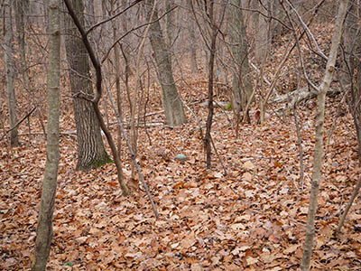
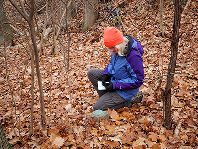
Wearing orange hats, because it is indeed a Sunday hunting day (rifle deer hunting), we took a short walk into the woods. The rocks hiding beneath the leaves were very slippery, and a disgusting old discarded mattress blocked our path for a moment, but we soon reached the coordinates and began wandering around … and spotted nothing other than a very thick layer of fallen leaves.
I was beginning to think that the situation was hopeless for the time being, with so many fallen leaves covering the ground. It wouldn’t be the first time we needed to return to a location with a metal detector.
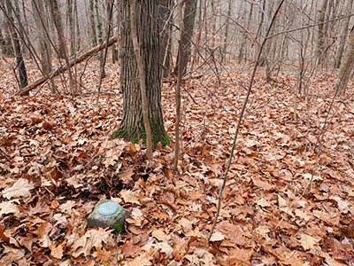
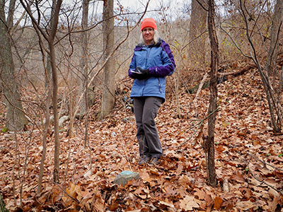
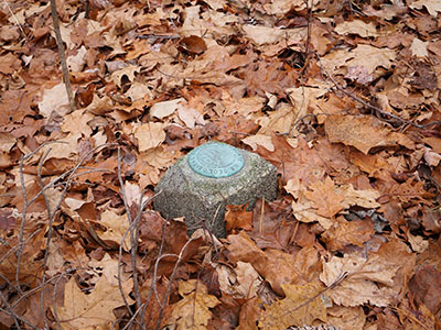
But a moment later, I happened to turn my head to the right, and there was the turquoise-colored disk sitting on top of a concrete post!
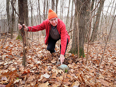
“I see it! I see it!” I exclaimed, probably a bit too excitedly, but it was an exciting moment. We both thought the disk looked a bit larger than the usual disks, for some reason. And it is in very good condition.
After finishing our photos and documentation of the benchmark, we moved on to look for the nearby reference mark. According to the description, it is a PDH (Pennsylvania Department of Highways) disk set on a nearby concrete bridge. Unfortunately, there weren’t any other details or measurements provided.
Typically, PDH disks are easy to find, and we seem to spot plenty of them on old concrete bridges when we’re not even looking for them. But this time, we had no such luck.
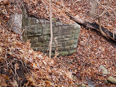
There are two bridges or culvert-like structures near the mark. One is concrete and was clear of vegetation, and it was clear to see that there was no disk set into it. Just a few yards away is another structure with a layer of old, heavily eroded concrete on the top, and a stone wingwall dated 1939 (seven years after this benchmark was set). Perhaps the reference mark was set in the original bridge in this location, which is probably gone now given the date on the wingwall.
We also checked the corresponding portal on the northern side of the road, but that was far too overgrown for us to have any hope of finding anything on it. Given the distances in the description, it is much more likely that the southern portal was the one that originally held the reference mark.
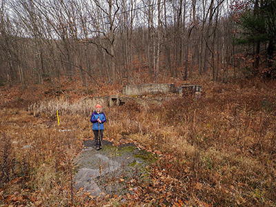
Something else of interest is that the walls of the old service station mentioned in the benchmark description are still in place! The remnants of the building sit on the north side of the highway, and they can even be seen on Google Street View. The letters CHICCO and two small fish are faintly visible on the concrete.
We had a vague memory that a geocache was once placed here, although neither of us ever searched for it. I eventually found the listing:
One of the geocachers’ photos of the area shows some more text beneath CHICCO. Although the geocacher interpreted it to say LIVERY, we think it said LIVE BAIT, which would make sense given the small fish icons near the lettering.
Rich remembers that there was once a pipe emerging from the hillside here, too, where people would fill up jugs with drinking water. Such roadside springs were apparently once quite common.
I’ve been intrigued by this area for a while, given its proximity to the old Erie Railroad Jessup Branch viaduct, Elmhurst Boulevard, and the former town of Greenville (which was abandoned due to the original construction of the aforementioned I-380 bridges). I would love for us to return in warmer conditions to investigate further. For one thing, there is a small furnace or oven near the Chicco station, just a bit higher on the hill and to the east. I’m looking forward to exploring that close up, as well as looking for whatever might remain of the water pipe.
