Although we haven’t yet found TT 9 T, the search for it has led to some interesting discoveries (and even more mysteries)!
Following last week’s recovery of a local USGS benchmark that we had somehow overlooked for all of these years, we spent some time poking around on the topo maps to see which other nearby benchmarks we might have missed. TT 9 T, set in 1932, stood out as one that looked like it should still be in place. It also had some interesting references in its description.
In particular, this phrase led us down a rabbit hole:
on W. side of U.S. Highway 6; between hwy. and D. & H. RR.;
Wait, we thought … Route 6 is west of the railroad in this area, so how could the mark be west of the highway and also between the highway and the railroad?
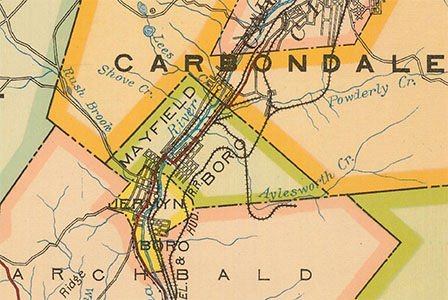
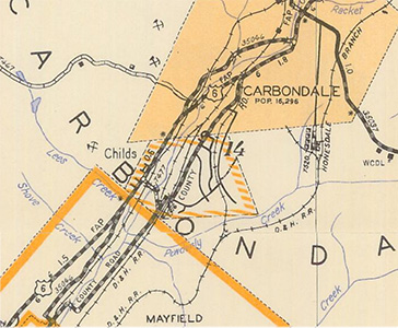
Turns out that Route 6 in this area has been rerouted several times over the years. Originally, it ran through Mayfield on Lackawanna Avenue, then made a jog southeast beneath the railroad overpass on Erie Street, and then turned abruptly northeast to follow Gordon Avenue into Carbondale. This little strip of land between the road and the railroad along Gordon Avenue was where the benchmark was placed. This alignment of the route can be seen on PennDOT’s Historic Type 10 map from 1923.
In the late 1930s, the first section of the Scranton-Carbondale Highway was constructed. That section stretched from the southern end of Carbondale Township southwest to present Route 247 (Montdale Road), so it encompassed the section where this benchmark was located. The new alignment is visible on the next available Type 10 map, from 1953.
Interestingly, after finishing our search we took a ride along Upper Powderly Street and returned to Route 6 via Pike Street, which our car navigation unit designates as Route 6 in this area.
“What?!” Rich said. “This isn’t Route 6!”
In fact, it was for many years … however, since at least 1998 (based on the Historic Type 10 maps) Route 6 has taken its current path over Brooklyn Street/8th Avenue, rather than over Pike Street, into Carbondale. (Shows you how old the data in the navigation unit is!)
Back to the story of our search. Early this afternoon we visited the site, and found easy parking on the east side of Gordon Avenue, just across the road from the coordinates we had pulled from the topo map.
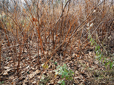
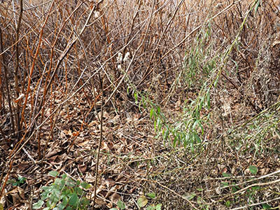
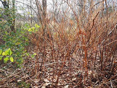
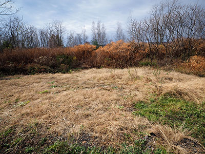
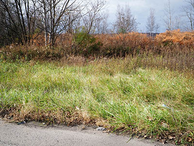
Unfortunately, we could see immediately that this would be a difficult, if not impossible, search due to the amount of dense vegetation (Japanese knotweed, or “bamboo,” as we call it).
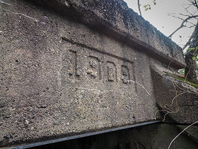
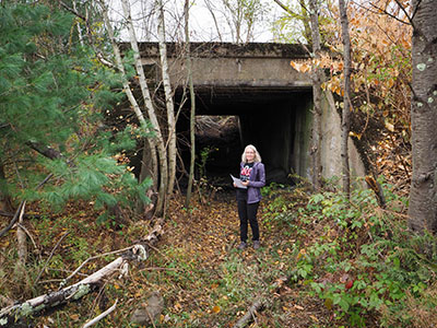
Before trying to make our way to the coordinates, however, we spotted a small opening in the vegetation and walked through it to find an old concrete culvert passing beneath the railroad tracks! Could this be the site of the `coal track of Powderly Colliery that runs under the D. & H. RR. tracks to coal dump mentioned in the USGS description? It seems likely.
Strangely enough, we haven’t been able to find any historical photos or maps of the colliery site, and we can’t quite figure out how this whole arrangement might have been laid out. Even PennPilot imagery (the oldest of which dates from 1939) doesn’t give us much to go on.
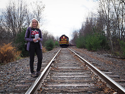
After briefly exploring the culvert, we wandered all around the area, as much as we could given the dense brush. We climbed up the fill bank to the railroad tracks on top, thinking that we might be able to peer down into the vegetation and catch a glimpse of a concrete monument, but we had no luck.
The mark is probably still in place, but so covered by fallen leaves, brush, and other vegetation that it will be nearly impossible to find unless there is a brush fire in the area, or someone purchases the land and clears it out. Even a metal detector wouldn’t be of much use since most of the vegetation is simply impenetrable.
We may try again, and we will certainly keep an eye on the status of this area if we pass by. This would be a fascinating find!
I thoroughly enjoyed today’s autumn exploration. It was a warm afternoon, partly sunny, with the last remnants of fall color surrounding us. On our way home, we drove past the site of another local TT station (TT 8 T) near the intersection of the Eynon-Jermyn Road and Washington Avenue that heads south toward Archbald. We don’t have high hopes for that mark either, but it’s always possible that it’s still in place. We may try again on a Sunday morning when the nearby businesses are closed.
We spent the rest of the evening at home and enjoyed some tender, succulent steaks, cucumbers with dill sauce, and twice-baked potatoes for supper!
