It was a very different kind of day for our sixth m00siversary! The day began as you might expect: with breakfast at the Black Friar again (breakfast combo for me, Ruffus Omelet for dad and French Toast for Rich).
Our plan was to hike the Acadian Ridge Trail with the intention of reaching the summit of McFarland Mountain. You might recall from last year that we met some representatives of Friends of Acadia at Jordan Pond House, and one of them mentioned the Acadian Ridge Trail. It was from that man that we first learned about the trail, but he didn’t give many details and we couldn’t find anything online about it. From what he had said, we were under the impression that the trail climbed McFarland Mountain.
This was the first time our car has moved from its parking spot all week. The Island Explorer is great, and it was able to take us everywhere we wanted to go for the past few days—and so far we’ve only eaten dinner in Bar Harbor, so in the evenings we just walked into town. But there’s no convenient service to Norway Drive in the fall, so Rich drove the three of us in his car.
We easily found the trailhead along Norway Drive, marked by a faded pointer that reads “Acadian Ridge Trail,” and we headed down into the woods. The trail was well-worn and obvious in this section, and provided pleasant walking as it wound its way through dark, mossy woods. A few wide wooden bridges spanned a small brook.
Soon we came to an intersection from which one trail went left and another trail led up and to the right. There was no signage at all, so we took our best guess and went to the right. This trail was heading in the direction of McFarland summit, and there were some other clues that this was the correct path, such as a fallen tree cut to allow passage and branches and logs lining the treadway.
All indications were that this was the proper path, but after a few hundred feet we emerged at two cabins/cottages and could not find any further sign of the path! We walked all the way around the larger cottage to see if anyone could help us out, but there were no signs of life. We poked around a little bit but didn’t feel comfortable exploring too much on what was clearly private property. We reluctantly decided to turn around, go back to the intersection, and see where the other path led.
Well, we hiked the other path for almost a mile and I still have no idea where it goes! It meandered generally northward but not toward any particular feature that we could discern. At one point I thought it might be heading up Youngs Mountain, but very quickly it turned again and began descending and heading west. If anything, it seemed to be heading toward a road with a few houses on it, but since we couldn’t see anything else interesting along the way and didn’t really want to go all the way to the road (if the trail did, in fact, go there) and then have to walk all the way back either on the trail or on the roads, at a certain point we decided to just turn around and do some more research, possibly to return on another day. It was a warm day and quite hot in the open woods. All the while I was hoping that Rich and Dad weren’t too disappointed.
Not getting to the summit of McFarland was a bit of a bummer for me too, but it turns out that we were all game to try a different approach: straight up the southern face, the old ski slope, as described by Matt Marchon in The Acadia You Haven’t Seen.
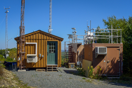
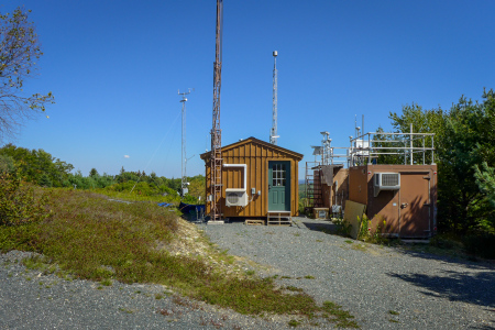
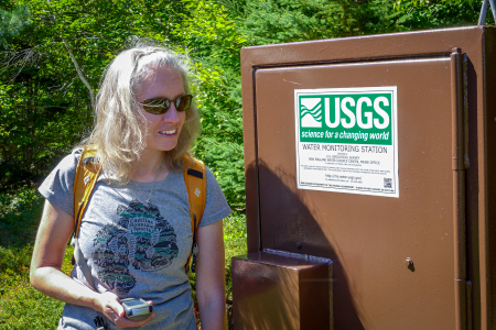
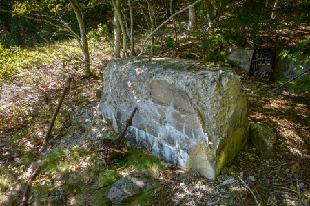
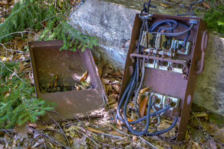
We parked as directed at the National Park Headquarters and hiked up to the weather station on the opposite (north) side of the road. From here, things got a little tricky as I don’t think we quite found the proper path through the low-lying blueberry bushes in McFarland Field until we were already well past it. Nevertheless we eventually made our way to the southern edge of the woods, at which point we knew we were on the right track since we found the relics of the old tow rope system: an abutment of some kind, circuit breaker, a wheel and a grounding pin.
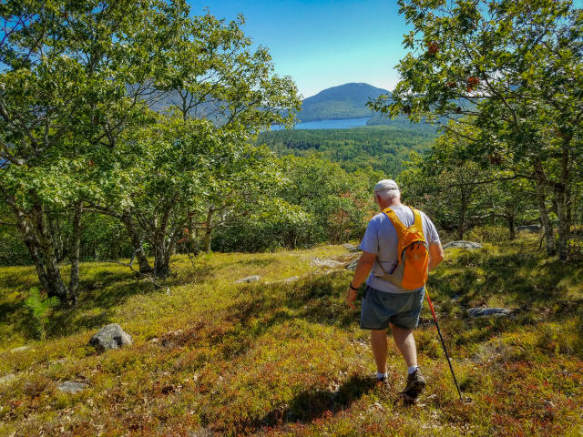
From here, we hiked straight up the old ski slope! The “trail” was obvious and still pretty wide, and definitely slippery since it was nearly vertical with lots of dried leaves underfoot. But it was a short distance, just a few hundred feet.
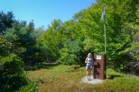
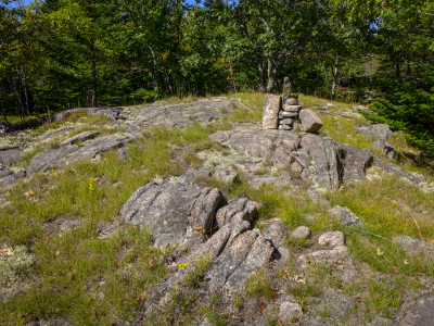
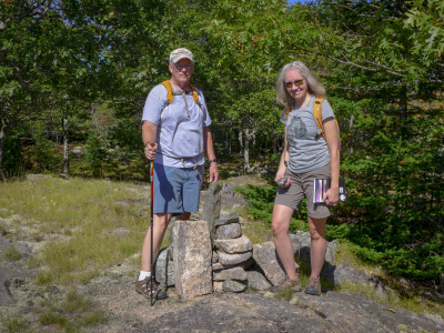
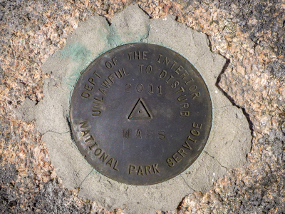
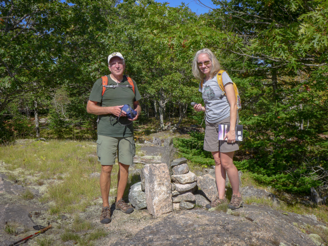
Soon we were on more level ground and the footing changed to a grassy slope studded here and there with rocks and bedrock outcroppings, which here typically means we’re getting closer to a summit. And we were. In another hundred feet we saw the summit cairn and the new (2011) NPS/URI triangulation station MARS set nearby. Whew!!! We were all pretty whipped! (Did I mention it was another day of full sun, and temperatures well into the 80s?)
After we filled up on water and took a few minutes to rest, we looked around for the trail leading down that Matthew mentioned in his book. We couldn’t find it, believe it or not. My one recommendation for Matt would be to use compass directions in his descriptions rather than saying “turn left” or “look to the right” because it’s hard to know which way he was facing when he wrote the description.
Rich and I both spent some time poking around the summit and investigating a wider area, but we still couldn’t find a trail. So the three of us began heading downhill at an angle, avoiding the steep slippery ski slope, and before long we came across a grade that looked like an old road.
This old road took us out to the weather station road. It emerged a bit higher than the trail we were supposed to find—I only know that because I’m pretty sure I saw the southern end of the trail when we passed by on our way up the weather station road. I think we’re going to have to start from the bottom of the trail sometime and try to follow it up to the summit so we can map it.
We found out later when we looked at Google Maps that the trail, or at least segments of it, are quite apparent on the satellite view. It appears that it probably goes to (or at least close enough to) the summit, as expected, but then it also looks like it continues on, possibly to Youngs Mountain? Lots of explorations for another time!!!
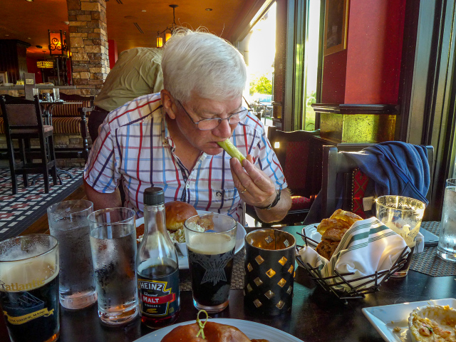
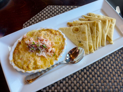
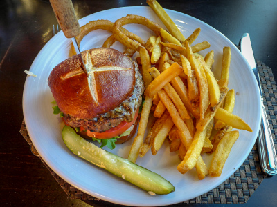
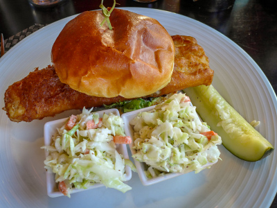
We were all pretty beat so we took a couple hours in the afternoon to rest, and then we went for supper at Paddy’s again. I had the Wexford fish sandwich again, this time with cole slaw, as did Dad. Rich had a stout burger (excellent, but just a little too much bun) with fries and onion rings on the side. Rich and I also shared a delicious crab and lobster cheesy spread with little flatbread triangles. And Guinness all around, of course! Rich had a second Guinness for dessert! We were all too stuffed for actual dessert.
